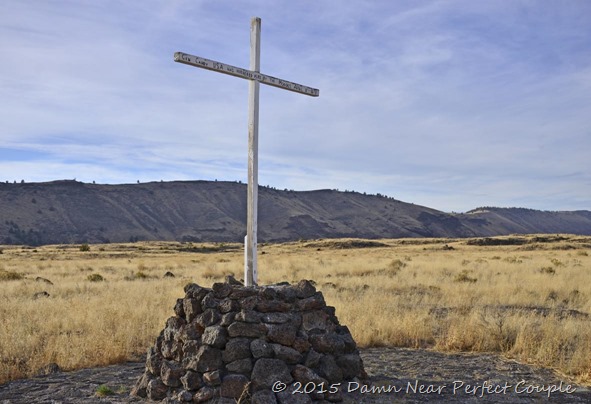
As we continued on our southern journey to Benson, AZ for the winter, we decided to take a side trip across the desert to Ajo (Ah-ho), a small former mining town that’s a loooong way from anything. From Ajo it’s 130 miles east to Tucson, 112 north to Phoenix, and 160 miles west to Yuma. But, it’s only 43 miles south of Gila Bend….which has a McDonald’s!
So why did we travel here? To visit Organ Pipe National Monument, a place we visited in 2008 and thoroughly enjoyed. But first, a bit about Ajo. Like many Arizona towns, copper was the reason people came here. Mining started in the 1850’s, when ore was shipped around Cape Horn all the way to Wales. 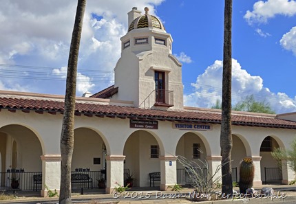 Mining continued here until 1983 when the New Cornelia Mine shut down, leaving a pit that measured one and a half miles long and 1100 feet deep. Today, the town struggles with few job opportunities
 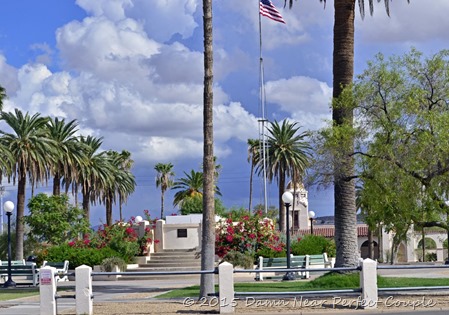 and a community largely composed of retired folks and Border Patrol employees. Driving through town, you see remnants of company housing that’s been refurbished, a few businesses, and the main business area, the Plaza. The Plaza has been restored to it’s original l
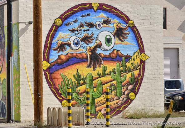
 ook, and while not exactly bustling, has a number of businesses and a visitor center in the original train station. Across the street is the very pretty Ajo Federated Church, an interdenominational church. You can see the visible efforts the town has made to improve it’s image. Many buildings have murals, and we were struck by this unusual but colorful mural. And no, we have no idea what it’s supposed to represent:
We stayed in Ajo at the Shadow Ridge RV Park, a nice park with very friendly owners. From the park, it was a comfortable drive to the monument, which is on the Mexican border. Organ Pipe isn’t a well known or much-visited park due to its location, but is well worth the trip. We checked into the large and informative
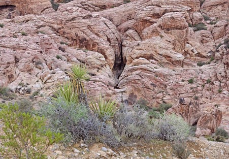
 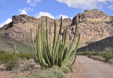 visitor center, then crossed the highway to the Ajo Mountain drive, a 21-mile loop. We followed the well-maintained gravel road east into the mountains, all the while surrounded by lush desert landscape. Saguaro, Ocotillo, and Chain-fruit Cholla were common, and we began to see Organ Pipe cactus as the elevation climbed.
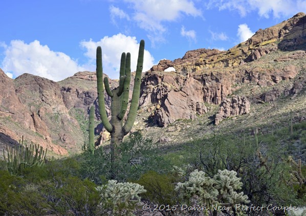
It was a beautiful drive on a beautiful day, and not wanting it to end, we decided to drive the border road to Quitobaquito Springs, a drive of 14 miles west from the main highway. 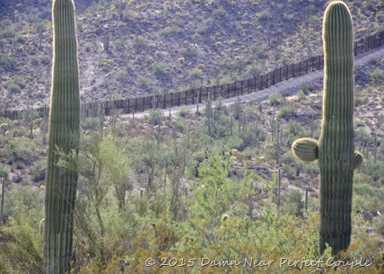 This road was closed until recently due to the danger of smuggling, but a ranger advised us that there were now over 500 Border Patrol agents in the area and that they had reopened the road to travel. As we turned onto the road, we could see the border fence nearby. The fence, about 12 feet tall, continued up and over the hill until it was out of sight.
 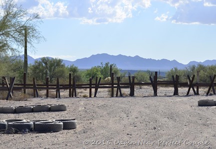 As we drove to the other side of the hill, the fence suddenly disappeared and was replaced by a low barrier that could easily be crossed. We realized that we were probably in the area under surveillance from Border Patrol camera towers we’d seen earlier, but it was still a surprise to see how small the barrier was.
  As we’d seen on the Texas border, a narrow road of smooth ran along the fence. The tires you see in the picture are hooked up behind trucks and dragged along the road daily. Anyone crossing the fence into the U.S. will leave footprints to alert the Border patrol. It was strange to sit this close to the border that we hear about being so fortified, looking through a flimsy fence at traffic on a major Mexican highway. A while later we arrived at the end of the road, but found that visiting the spring required a fairly long hike through the desert. Since we were the only car in the parking lot, we decided to try it again some day when there were others around.
From Ajo we traveled east to Tucson and then on the the Escapees Saguaro RV Park in Benson where we’ll spend the next few months. There’s always plenty to see and do in this area, so stay tuned – we’ll be back!
